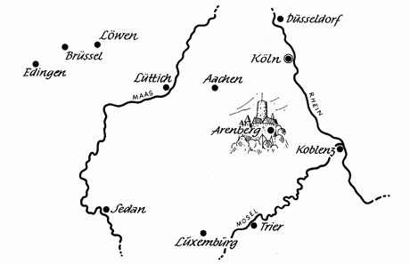
The Old Duchy of Arenberg
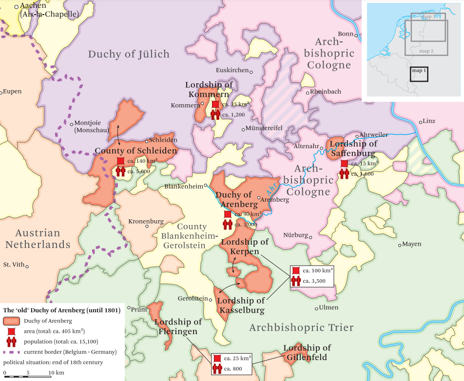
The old Duchy of Arenberg, situated in the Eifel and subject to the immediate authority of the emperor, lasted from the High Middle Ages to the peace of Lunéville in 1801. Its disappearance was the result of the annexation by France of the whole of the west bank of the Rhine. The duke of Arenberg had a number of votes in the Diet of the Holy Roman Empire. In his quality of duke directly subject to the emperor, he had one voice in the chamber of princes. Through his possession of Schleiden and of Saffenburg, he also had two votes in the single collegiate vote of the chamber of the counts of Westphalia. The duchy of Arenberg was small by comparison with the enormous feudal possessions, seigneuries, baronies, counties, principalities and duchies that the family was to acquire later within the Low Countries. Historical research, for example historico-geographical mapping carried out by the University of Namur to determine the influence of the great families between the Meuse and the Moselle prior to 1518, has given us a visual demonstration of this.
In spite of the sale by Charles d'Arenberg and Anne de Croy of most of the lands in the northern part of the Low Countries during the period 1610-1617, the extension of the feudal domains of the Arenbergs nevertheless continued over the years in the catholic areas of the Low Countries and in northern France.
One may well wonder whether the dukes would not have done better to concentrate on the expansion of their own sovereign powers instead of devoting their energies to the faithful service of the emperor and the church.
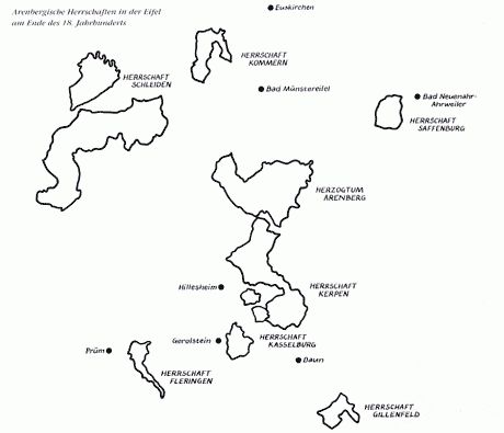
Size and population of the old duchy of Arenberg
(according to Genealogisches Reichs-und Staats-Handbuch, 1804, Volume 2)
-These figures were used at the Treaty of Lunéville and at the Congres of Vienna-
- Duchy of Arenberg
1.5 square mile or 84,375 km² for 2,918 inhabitants
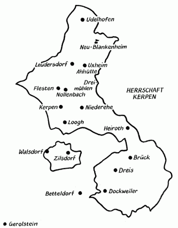
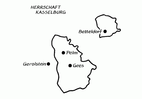
(1 German square mile = 56.25 km²) - Lordship of Kerpen-Kasselburg
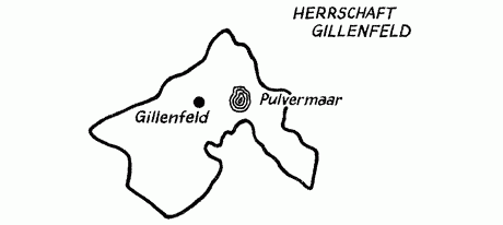
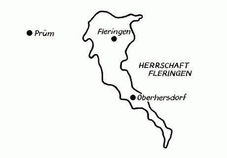
84,375 km² for 3,505 inhabitants - Lordships of Gillenfeld and Fleringen
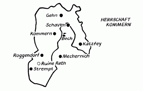
28,125 km² for 784 inhabitants - Lordship of Kommern with Mechernich and Hartzheim
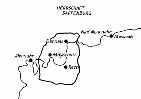
42,128 km² for 1,216 inhabitants - Lordship of Saffenburg
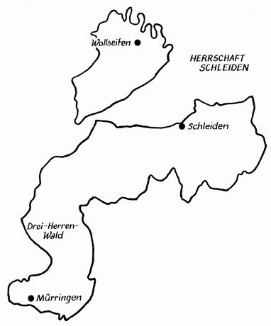
42,128 km² for 1,574 inhabitants - County of Schleiden
140,625 km² for 4,887 inhabitants
Total: 14,484 inhabitants, 422 km² or 7.5 German square miles